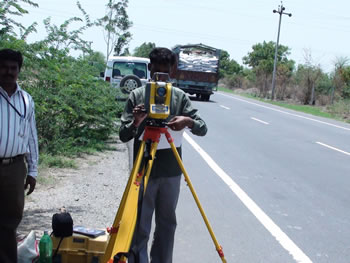
Roads can be surveyed to determine the condition of the pavement sub layers and the location of any potentially dangerous voids.
Utility mapping can also be generated during these surveys to to accurately map the position and depth of all utilities, including PVC and fibre optic.
These road surveys can be conducted at reasonably fast speeds, therefore eliminating the need for road closures.
Detailed reports are generated after careful and experienced analyses of the collected data and can be supplied in hard copy or CD format.

|